Day Five: Thursday, Sept. 10, 2009
Rosy and I had done some shopping, sightseeing and had decided we should make our way to the towpath and wait for the boys. The towpath was located on the other side of the Potomac so we made our way over the bridge. The bridge is located where the Potomac and Shenandoah Rivers converge and makes for a really pretty view. 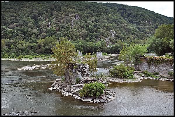
Here, the forces of nature created a natural corridor for commerce. The Shenandoah and Potomac Rivers carved a notch in the mountains, providing passage west. Communities grew up on both sides of the river and later a turnpike, railroad, and canal came through this notch. The railroad and canal competed constantly until the railroad gained dominance. Because of the devastation of the Civil War and decreasing dependence on waterpower the area declined in importance.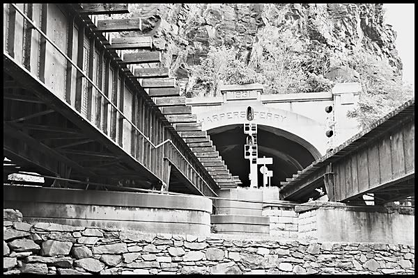
Not only do rivers converge and the railroad and canal compete for space but the Appalachian Trial also makes an appearance at this spot. For a short distance the towpath and Appalachian Trail run together. There is a lot happening in this one spot on the towpath.
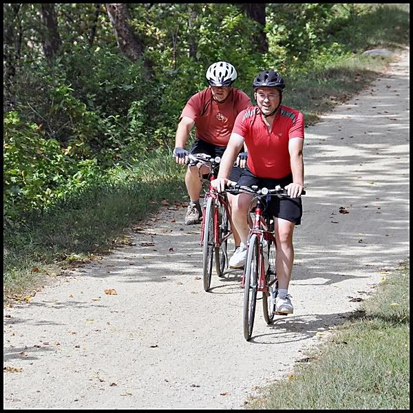
While we were exploring this area the boys were taking in the sights along the towpath.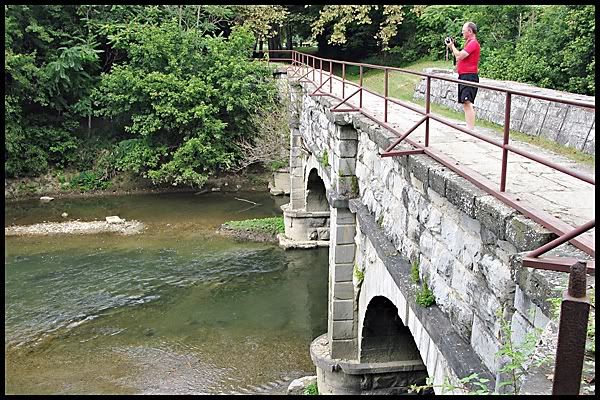
They're here! Good because it's late and I'm getting hungry.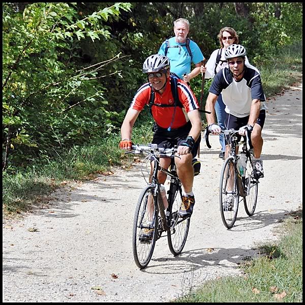
While we were standing there sharing our morning adventures one of the gang looked up and spotted this flying overhead. 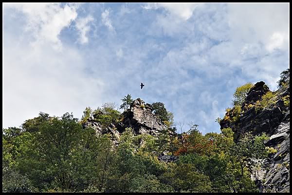
Do you know what it is? Here is a closer look.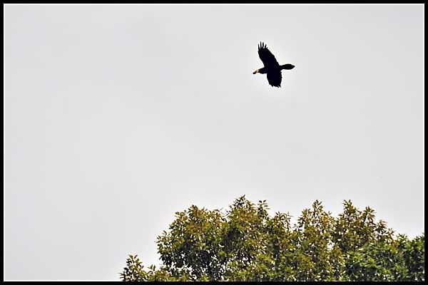
If you guessed an eagle with his lunch then you would be correct. Speaking of lunch it was time for ours.
While we enjoyed our lunch in town we decided to make a change of plans. The weather wasn't looking good for the next day and it was already quite late in afternoon. We really weren't going to have time to do Antietam Battlefield justice. It was decided that the guys would ride 12 more miles down the towpath to Point of Rocks. This would give them a head start on tomorrow's ride which if wet and muddy would be slow going. In retrospect this turned out to be a wise decision.
After lunch the boys made their way to the towpath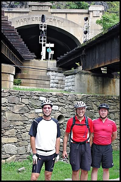
and Rosy and I did a little more shopping before heading back up the hill to Laurel Lodge and our cars.
The boys also did a little sightseeing as they made their way to Point of Rocks. The major point of interest of the afternoon was the Catoctin Creek Aqueduct.
The Catoctin Aqueduct is an historic canal structure of great importance to the transportation, structural, cultural and social fabric of Frederick County, the Village of Lander, the C&O Canal, the State of Maryland and our nation. The Catoctin Aqueduct site is where the C&O Canal and B&O Railroad, two arch rivals, first competed to concurrently cross a major tributary of the Potomac River– Catoctin Creek. It’s one of 11 stone aqueducts on the 184-mile long C&O canal.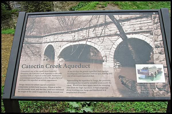
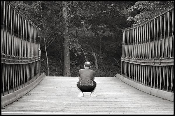
In October 1973, after over fifty years of neglect and repeated ravishment by storms and floods, the 139 year-old aqueduct collapsed into Catoctin Creek. Since 1978 an unsightly, yet functional, WWII-era steel frame Army Bailey bridge has temporarily spanned Catoctin Creek to convey hiker/biker traffic over the creek. The remains of the Catoctin Aqueduct are scattered under this "temporary" bridge–deteriorating and unnoticed.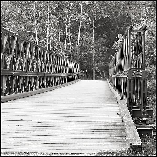
Of course, photos had to be taken.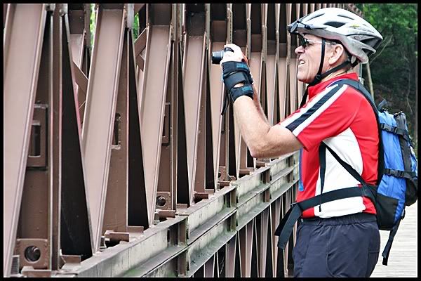
Eventually we all made it to Point of Rocks though it wasn't easy. Luckily Chris spotted us driving around the Amtrak parking lot looking lost. We just didn't look lost we were lost. I wish they could mark some of these trailheads better than they do. We would have never found this one on our own. To find this trailhead one had to go down a dirt road next to the train tracks, cross over the tracks, drive over a one lane bridge and hang a right into a small dirt parking lot. Like I said we were lucky that Chris happened to spot us in the Amtrak parking lot or else we would still be driving around in circles.
We headed back to the inn, cleaned up and walked to a local restaurant and enjoyed a lovely dinner.
Today's distance by bike: 48 miles
Tomorrow was the day. It was DC or bust. Would everyone make it? Could Rosy and I navigate DC traffic with two cars and end up in the same place? Would a rock rear its ugly head again? All that and more in the next installment.
to be continued......
Benefits of Dragon Fruits You Need to Know
7 years ago

2 comments....porters always have something to say!:
Wow. This really has been a great trip. I've enjoyed your postings.
We have just been sitting around here discussing this trip and future trips.
Post a Comment